Please use the back arrow on your device or Global Warming Now (above left) to return to the Main Page of this website
Introduction
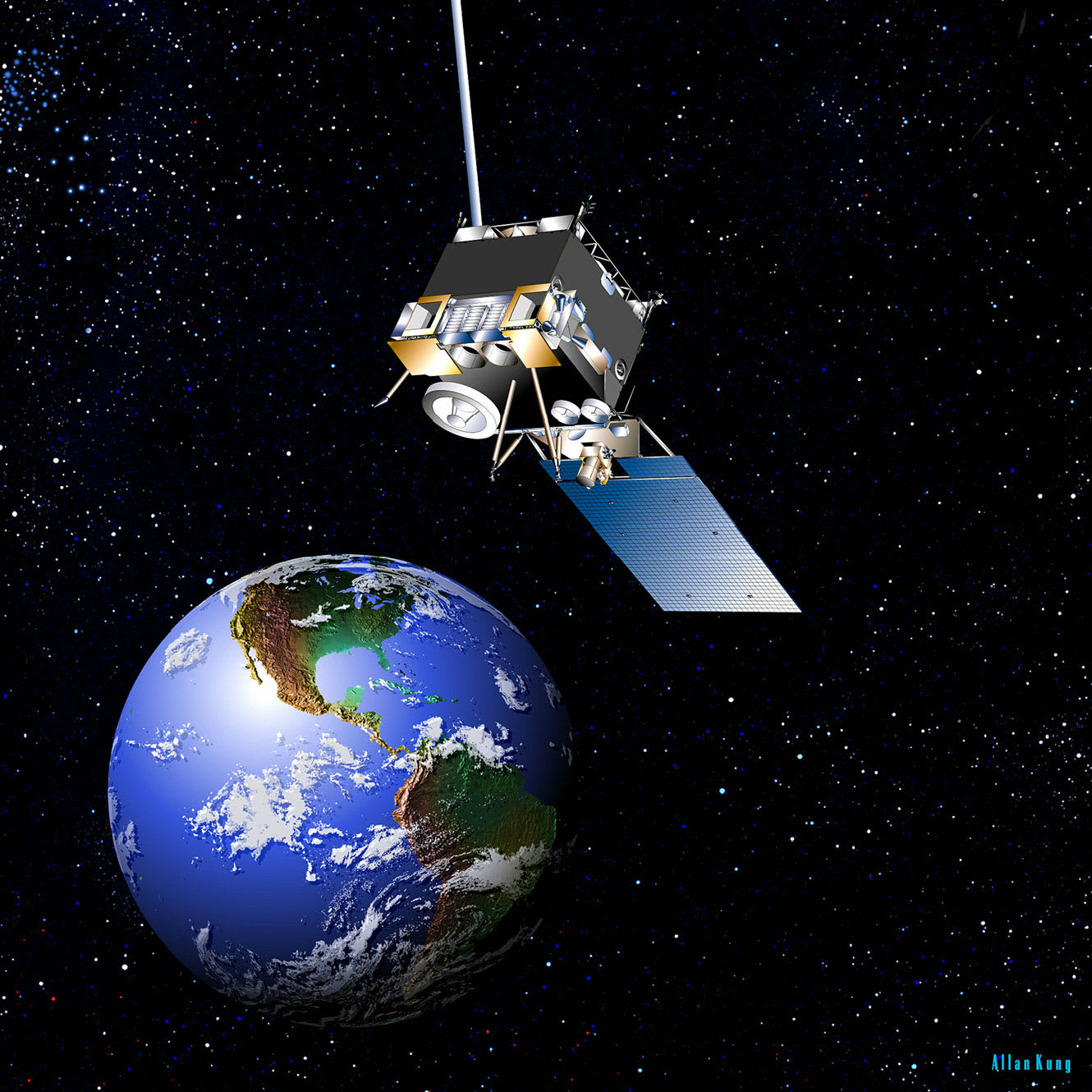
US Weather Satellites have sensors to detect Earth features from outer space. The drawing below illustrates the Geostationary Observation Environmental Satellite (GOES) that has 16 separate sensors (or bands) that collect Earth features digitally. The information is recorded by the sensors digitally and then transmitted down to Earth where the information is processed and posted on websites for researchers and other people to view. The GOES satellite is geostationary, which means that it is in a fixed position above Earth that follows Earth as it rotates east 24 hours a day. As Earth features change the sensors record the changes and then the digital images are processed here on Earth so that they can be displayed on computers and other devices.

GOES Artist Concept, from NASA news, 2012